Saraan Asim
Saraan Asim
Stage
1→N
Product
AI sales platform for lawn care and pest control
Dates
Dec 2022 to Aug 2024
My part
Stabilised V1, led the V2 build, built the maps system and AI quoting
Stack
Next.js, NestJS, MongoDB, TypeORM, Google Maps, Stripe
Live
deeplawn.com

Deeplawn

An AI sales platform for lawn care and pest control companies. I stabilised V1, led the V2 build, and built its Google Maps system, AI measurement and instant quotes.

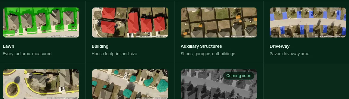
Deeplawn's home page with the headline "Quote every lawn before your competitors do" next to a dotted aerial map.
Fig. 1. Deeplawn's public home page.

1→N

The product

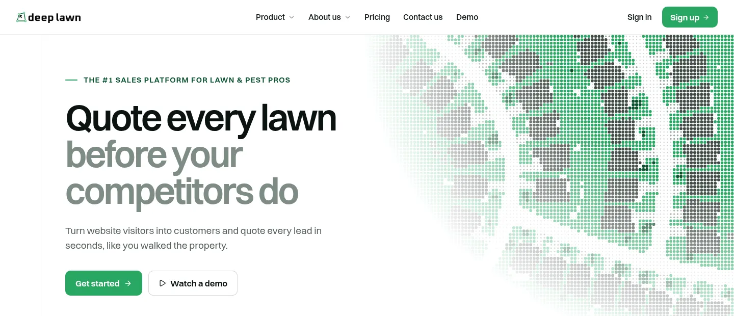
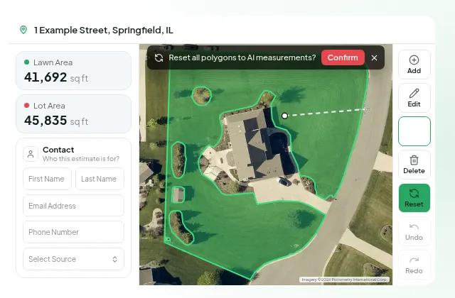
Deeplawn describes itself as the “#1 AI sales platform” for lawn care and pest control companies. A company enters an address, the platform measures the property from aerial imagery, and the customer gets a quote straight away. Companies can also embed a lead-capture widget on their own website, so a visitor can measure their property and get a quote there.

Where it started

I joined while V1 was in production. The map is at the centre of the product, because measuring and quoting both happen on it, and it had a rendering issue that had been open for two years. I stabilised V1 within four months and then led the V2 build with four developers.

What I built

The Google Maps system. Polygon rendering, distance mapping, routing and service-area calculation. This is the work that fixed the rendering issue.

AI measurement and quotes. I integrated the AI prediction model that detects lawn and property polygons, and built AI measurement and instant quotes on top of it.

Lead capture and integrations. The embeddable lead-capture widget, and the CRM integrations with Pipedrive and Jobber that send leads into the tools companies already use.

How it works

The sales app and the embeddable widget are Next.js front ends that call one NestJS API. The API holds the maps logic and the AI measurement, and the polygon model runs in the backend. Data lives in MongoDB through TypeORM. Google Maps provides the maps, distances and routes, Stripe handles billing, and new leads flow out to Pipedrive and Jobber.
3 decisions

Decisions

  1. Create map objects once

    The two-year-old rendering issue came from a React re-render loop that kept re-creating the map and its polygons. I create the map objects once, keep them in refs and update them in place through the Maps API. React still renders the page around the map, and the Maps API owns what is drawn on it.

  2. Run the polygon model on the backend

    The AI model that detects lawn and property polygons runs in our backend. The sales app and the embeddable widget both get measurements from the same API, so a property is measured and quoted the same way wherever the customer starts.

  3. Split V2 by product area

    The four developers on V2 each owned a product area. I kept the maps system and the AI measurement as my own area, since everything else in the quoting flow depends on them.

Feature level

From the project record

Architecture

Sales appNext.jsQuote widgetembeddableAPINestJSMaps systempolygons · routingAI measurementpolygon detectionMongoDBTypeORMGoogle Mapsmaps · routingStripebillingCRMsPipedrive · JobberSales appNext.jsQuote widgetembeddableAPINestJSMaps systempolygons · routingAI measurementpolygon detectionMongoDBTypeORMGoogle Mapsmaps · routingStripebillingCRMsPipedrive · Jobber
Fig. 2. The sales app and the embeddable widget share one API. The maps system and AI measurement turn an address into a quote.

Result

Outcome

The maps system fixed a rendering issue that was two years old and removed the re-render glitches. V2 brought AI measurement, instant quotes, the embeddable lead-capture widget and the Pipedrive and Jobber integrations, and Deeplawn is live at deeplawn.com. I wrote up the maps solution as a step- by-step guide on Medium. It reached 18.2K+ views and was recognised by the Google Maps developer community.

Looking back

What I’d change

I would settle the data model for V2 earlier. V2 was built on a product already in production, and the records underneath properties, measurements, quotes and leads shape every feature on top of them. Fixing them at the start would have made the later work simpler. It is the same lesson I took from SiftSight and Terravive.